Guardian Angels: Satellites within Conservation Efforts
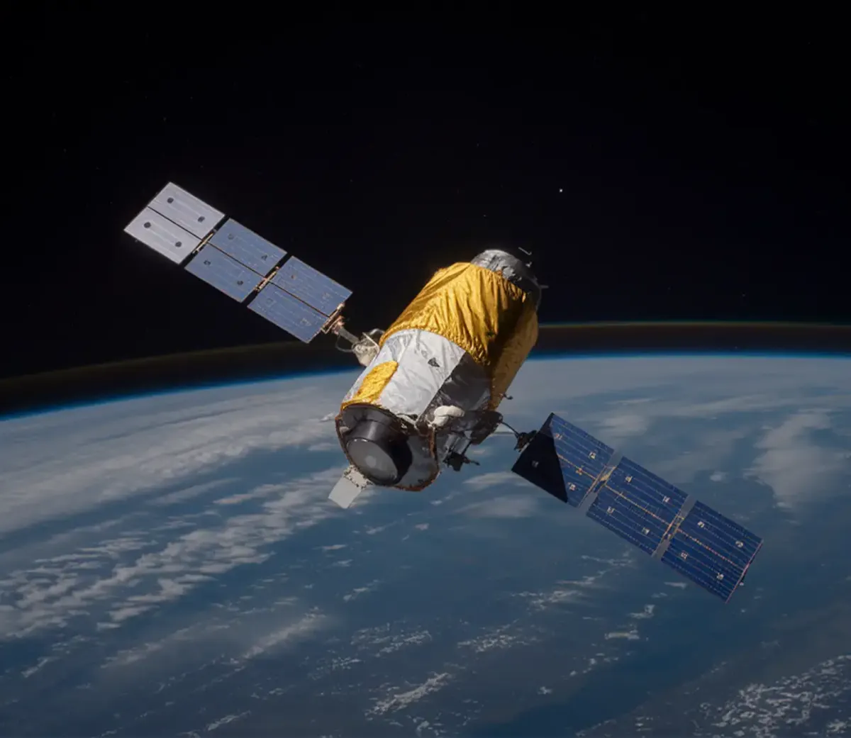
This article from NASA explores invasive species detection from orbit instead of traditional survey based methods. As technology improves and new modes of surveillance become viable, we begin to see advantages in areas that historically have suffered from a lack of accessibility.
“Because invasives have such a large impact on our economy and environment, many researchers at universities and federal agencies are developing strategies to monitor and control them in order to minimize their damage. Remote sensing has been used increasingly to track invasive species distributions and predict where they might spread” (Cassidy, 2021)
“On-the-ground surveys, where researchers directly observe species and their habitats, are essential to understanding the characteristics of invasion. Researchers use field surveys to map the current distributions of invasive species and to determine factors related to their establishment and spread. Surveys are time-consuming, expensive, and can be limited in geographic scope, which is why researchers often rely on remote sensing to aid their work” (Cassidy, 2021)
“Mapping the presence of plants and animals using remote sensing can be done with optical imagery when the species has distinguishing characteristics. For example, large animals or plants with a distinctive presence may be detected using freely-available optical imagery from instruments onboard Landsat (30 m resolution), Moderate Resolution Imaging Spectroradiometer (MODIS, 250–1000 m resolution), or other multispectral instruments” (Cassidy, 2021)
“Mapping where invasives have established is essential to predicting where they might spread. Because tamarisk is very difficult to remove once established, federal agencies and land managers are invested in understanding which places are at risk of invasion. Remotely sensed climate data as well as data on terrain and vegetation are often used to estimate where species could spread” (Cassidy, 2021)
“New technological developments and satellite missions have the potential to boost ecological research on invasive species. These new missions provide datasets that can be used to study species habitats and likely distribution, which have applications beyond tracking invasives. For example, the Global Ecosystem Dynamics Investigation (GEDI) mission, launched in late 2018, uses three lasers to create three-dimensional maps of the world's forests” (Cassidy, 2021)
Review
Having access to observation instruments in orbit provides a plethora of advantages in the realm of reconnaissance and survey of many kinds. Using this technology to verify the presence and patterns of various species is an excellent application, considering how much work it can take to survey the same amount of land or sea with traditional methods. While orbital observation methods still have their limitations in certain scenarios, they cover an extremely significant amount of work, taking pressure off of survey crews in a way that can let them focus on the areas that satellites cannot. This seems to be a recurring pattern as we watch technology evolve and apply it to spaces within studying nature. Computer processing can now sift through hundreds of hours of footage or audio, data tables and AI can spit out patterns and information that would take hundreds of hours to calculate, and we can now view massive portions of the planet at amazing resolution, letting us make observations far beyond what we could before. If we use them responsibly, these technologies may be key in protecting nature.
References
Cassidy, E. (2021, February 25). Sensing invasive species from space. NASA. https://www.earthdata.nasa.gov/news/feature-articles/sensing-invasive-species-from-space